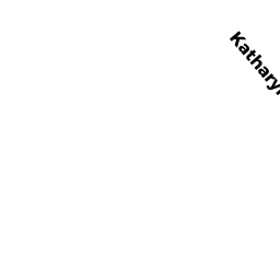
30 KATHARYN MICHAEL RD UNIT5
Owner Information
BOLTON BRIAN K
63 BARNACLE RD
YARMOUTH PORT, MA 02675


Property Details
30 KATHARYN MICHAEL RD UNIT5 is classified as a CONDO NL MDL-0 (Condominium).
The primary structure on this property was built in 1970. There are 938ft2 of built area within this property. There is 720ft2 of residential/living space within this property.
30 KATHARYN MICHAEL RD UNIT5 is valued at $199,300. The land is valued at $0 and the structures are valued at $199,300.
The most recent deed for 30 KATHARYN MICHAEL RD UNIT5 is recorded at the local registrar in Book 30110, Page 33. 30 KATHARYN MICHAEL RD UNIT5 was last sold on Tuesday, November 22, 2016 for $125,000.
Assessment data from fiscal year 2022.
Flood Data
According to the FEMA National Flood Hazard Layer, this property does not appear to be in a flood zone. It may also be in an area not yet reviewed. Nonetheless, confirm this information prior to taking any action.
To view the flood hazards around this property, create a FEMA "Firmette" Map of the area around 30 KATHARYN MICHAEL RD UNIT5.
Broadband Internet Providers
| Provider | Type | Bandwidth (mbps) | |
|---|---|---|---|
| Viasat Inc | Satellite | 35 | 3 |
| Verizon New England Inc. | DSL | 5 | 0 |
| Comcast | Cable | 1000 | 35 |
| T-Mobile | Fixed Wireless | 25 | 3 |
| GCI Communication Corp. | Satellite | 0 | 0 |
| HughesNet | Satellite | 25 | 3 |
| VSAT Systems, LLC. | Satellite | 2 | 1 |
Broadband service provider data from December 2020.
Adjacent Properties
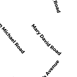
- 18 KATHARYN MICHAEL RD
EXEMPT STATE OW owned by GARDENS ASSN INC - 29 MARY DAVID RD UNIT 52A
CONDO NL MDL-0 owned by LANDO JOSEPH - 31 MARY DAVID RD UNIT 52B
CONDO NL MDL-0 owned by MUELLER CAROLYN - 40 KATHARYN MICHAEL RD
CONDO NL MDL-0 owned by COFFEY JUNE P - 38 KATHARYN MICHAEL RD UNIT5
CONDO NL MDL-0 owned by DUARTE SCOTT